
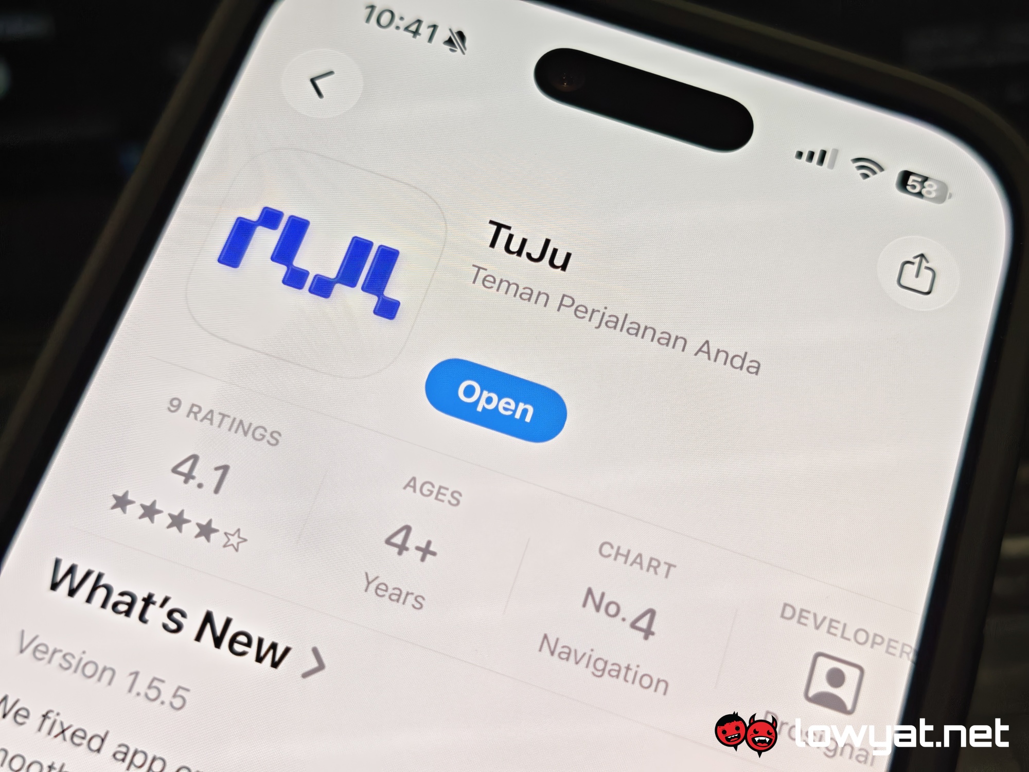
The Malaysian Highway Authority (LLM) has recently launched its answer to Waze and Google Maps. Developed in collaboration with Prosignal Consortium Sdn Bhd, the TuJu Highway Navigation App is available for download via the Apple App Store and the Google Play Store.
As with any navigation app, TuJu comes with the usual fare of features. These include route details, travel distance, as well as the estimated time of arrival. That said, it does come with a few functionalities that set the app apart from the existing offerings.
What are its unique features?
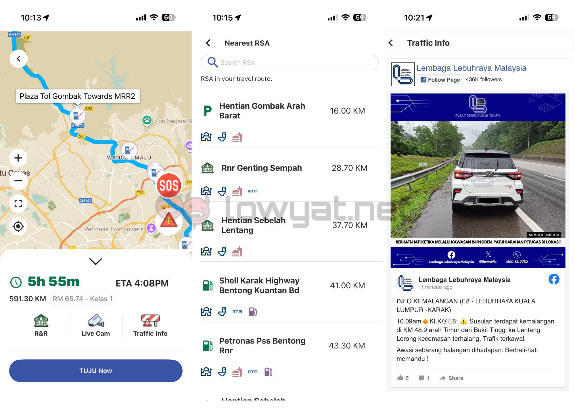 In addition to route information, the app displays the total toll charge for the journey. The toll plazas are also shown on the map, so drivers can properly plan out their travels. At the same time, users can find information on the available rest stops by tapping on the R&R icon. The app lists petrol stations alongside R&R locations, with information on included facilities.
Aside from that, users can access real-time highway CCTV feeds, which can clue them in on any congestion or other issues. The app displays a list of the available locations, and you can also search for a specific highway. Tapping on the desired area will bring up snapshots of the area.
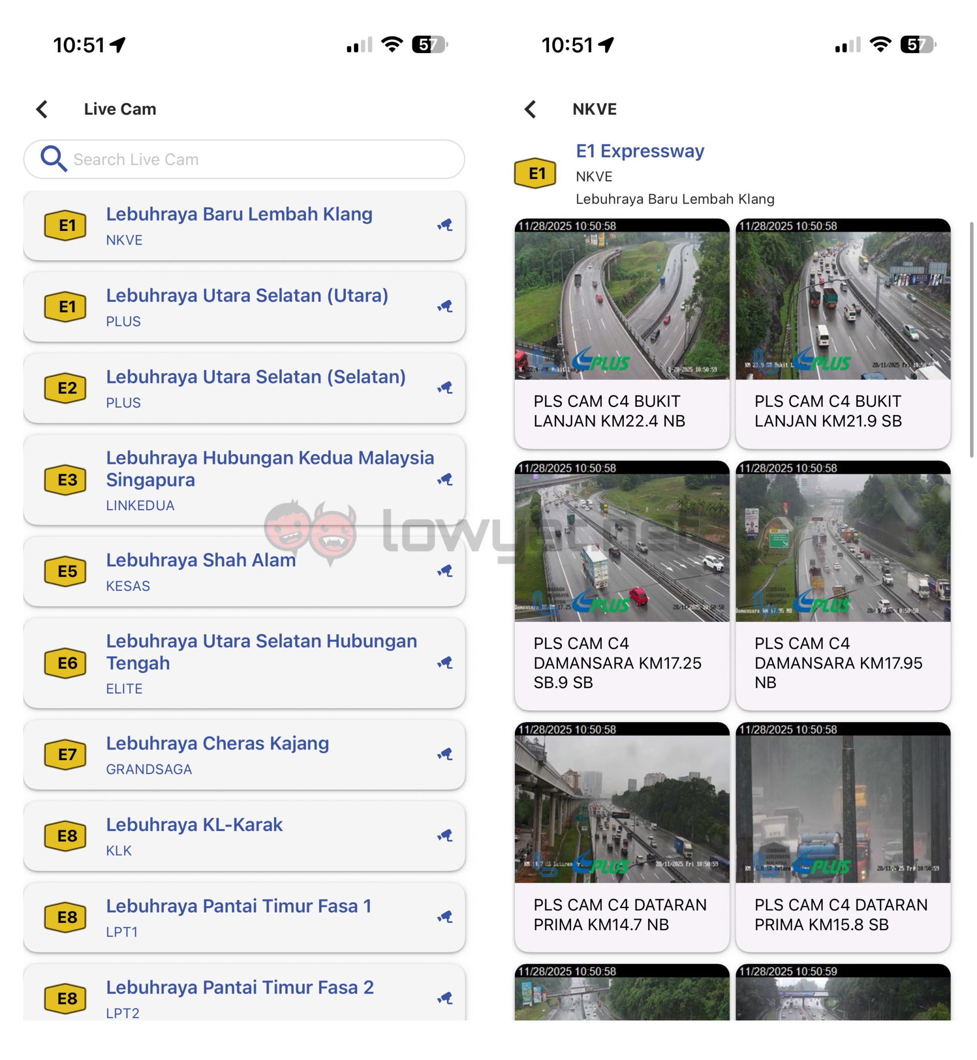 Yes, these are still images rather than a video feed. For what it’s worth, they do update automatically every few seconds. However, this feature does seem to load particularly slowly compared to the rest of the app. At one point while testing, the images failed to load completely for a few minutes.
Other app functionalities
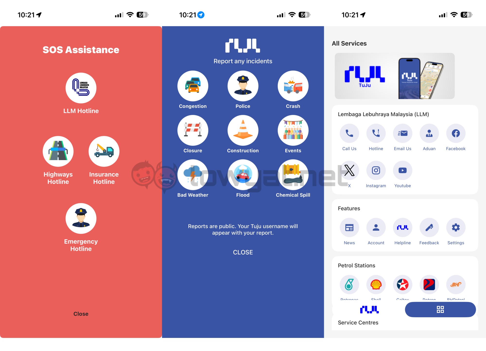
As the name says, the Traffic info page provides quick updates pulled from the LLM Facebook page. The app also has dedicated sections for reporting incidents, as well as accessing emergency services. Finally, there is a quick link to the MyJalan app for reporting road issues.
 Naturally, as the app is still quite new, it does have some rough edges. That said, the app’s store page does promise improvements, assuring that TuJu will evolve with users’ needs.
(Source: TuJu [official website])